
How precise are satellite collision-avoidance platforms? Artificial intelligence is helping space trackers get a handle on increasingly congested orbits, but physics and math are only part of the challenge in a domain where debris, satellite maneuvers and solar weather can quickly rewrite the map.
Companies tend to share their performance metrics only with customers, but two-year-old Italian startup Ecosmic is about to release figures it says lay bare the accuracy of its platform in unprecedented detail.
In a draft of an upcoming white paper shared with SpaceNews that benchmarks more than 1,000 real conjunction alerts, Ecosmic says its SAFE platform consistently outperformed Space-Track, the U.S. government catalog widely used as a global reference for orbital data.
SAFE (System to Avoid Fatal Events) fuses radar, optical, passive RF and other data from public and private sources, while Space-Track draws mainly on the U.S. Space Force’s ground-based surveillance network.
Space-Track generated 268 false alerts and overlooked one critical conjunction between December 2024 and July 2025, according to the startup’s analysis, whereas SAFE didn’t log any false alerts.
Ecosmic also reported significantly lower positional error than Space-Track and predictions that aligned more closely with Monte Carlo simulations, a statistical gold standard for testing and validating predictive accuracy.
Imane Marouf, Ecosmic’s co-founder and chief commercial officer, said the platform delivered 75% of alerts more than 24 hours before the time of closest approach, compared with 68% for Space-Track, giving operators an average of 12 hours more lead time to analyze and plan routes to avoid collision.
“For a constellation of 50 satellites, that translates into dozens of working hours saved every week, fewer unnecessary maneuvers and far less operational stress,” she said, “allowing teams to focus on real risks rather than noise.”
Other space-tracking firms regularly benchmark performance against Space-Track and other public sources.
Yet while accuracy is clearly a key selling point for space situational awareness (SSA), it’s also a moving target in an increasingly crowded market where data is filtered through different models, assumptions and observation networks.
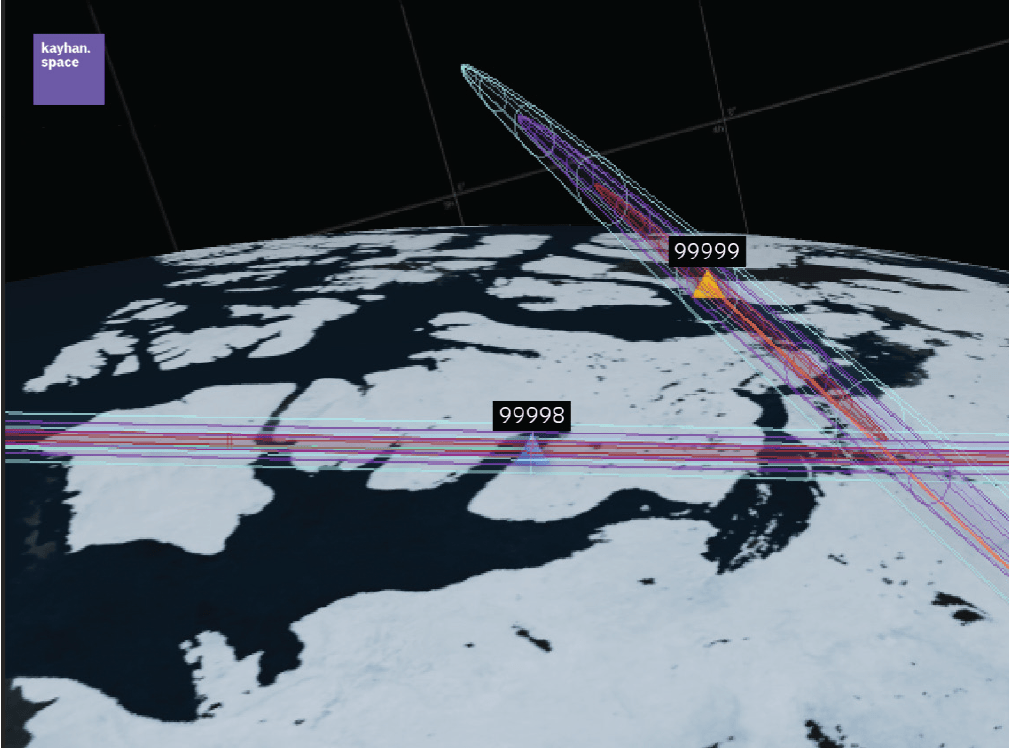
Founded in 2019, Colorado-based venture Kayhan Space also pools multiple data sources, using AI to recompute and validate conjunction parameters received from government catalogs.
Data these platforms can get from satellite operators themselves is particularly valuable, Kayhan chief technology officer Araz Feyzi said, because they include planned maneuvers not reflected in sensor-only sources such as Space-Track.
“It’s the difference between turning with blinkers versus turning without,” he added. “Predictive data gives you context, not just observation, which leads to fewer false positives and more reliable.”
The Space Data Association (SDA), a nonprofit group of satellite operators, sees its role as a neutral hub for sharing what can be commercially sensitive orbital data. Joe Chan, the group’s chairman, said SDA converts each member’s ephemeris data into a common reference frame to ensure consistent accuracy across analyses.
Different operators’ flight dynamics systems use different coordinate conventions, he explained, leading to small differences that can compound into big headaches when calculating close approaches.
For others with extensive or niche hardware, sensors are still king.
California-based LeoLabs says its radar network can deliver conjunction data within minutes, compared with Space-Track’s eight-hour screening cadence.
Software-only Comspoc says it uses a sequential filtering method that continuously refines each object’s orbit as new measurements come in.
The paradox at the heart of the market is that while SSA providers measure with high precision, their results can vary across a global ecosystem built on different sensors, models and assumptions.
However, as the deluge of satellites continues to raise the stakes in an increasingly critical operating environment, accuracy can’t just be a marketing term.
Transparency is also becoming just as vital as precision amid calls across the space-tracking industry for more collaboration, which could ultimately lead to shared baselines and greater interoperability.
Until then, the most accurate view of space will depend on who you ask — and when.
<em>This article first appeared in the November 2025 issue of SpaceNews Magazine.